Getting Oriented:
Alexandria Transportation Infrastructure & Maps
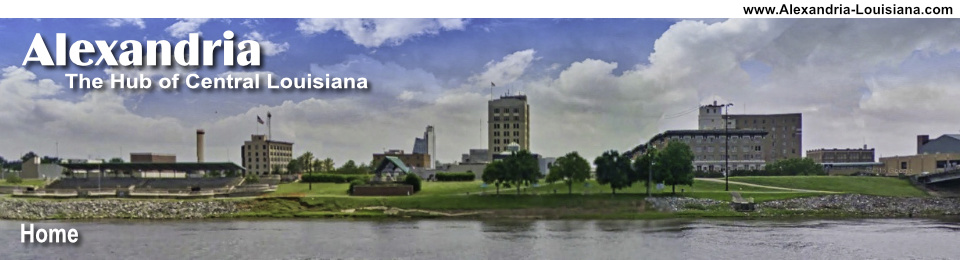
Alexandria, with its geographical location in the center of Louisiana, is the hub for major state and national highways. The Red River, running between Alexandria and Pineville, is crossed by three bridges.
Major Highways
Interstate Highway I-49 runs in a southeast to northwest orientation through the city. Lafayette lies to the south, Natchitoches and Shreveport to the north.
MacArthur Drive is an 8-mile long multilane bypass around the western side of Alexandria, built during World War II. Throughout its length it bears the designation of US Highway 71, and in places the additional road numbers for US 165, US 167, and LA 28.
In Alexandria, the main part of MacArthur drive (U.S. 71) south of the traffic circle at the intersection of Business 165, 165, and 71 is also called Jefferson Highway. This historic highway passed through Alexandria on its route from Winnipeg, Manitoba, to New Orleans, Louisiana. For more details, visit the website of the Jefferson Highway Association Both the north and south ends of MacArthur Drive intersect with Interstate Highway I-49.
US 165 has a southwest to northeast alignment; it is locally known as the "Lake Charles Highway" and the "Monroe Highway".
State Highway 28 runs east-west; locals refer to it as the "Leesville Highway".
The Alexandria-Pineville Expressway (aka as the Cottingham Expressway) or US 167 is a limited access road accessed via an exit from I-49. The expressway crosses the Red River just south of downtown Alexandria, passes through Pineville, and ends near the Dresser plant.
State Highway 1 runs on a north-south line to the west of the Red River; to the south it is known as the "Marksville Highway". US 71 to the north lies on the east side of the Red River, and leads to Coushatta and Bossier City.
 in Central Louisiana") |
US 167 runs to the north to Winnfield and Ruston .
Alexandria International Airport (AEX)
Alexandria International Airport (AEX) is located about 4 miles northwest of downtown Alexandria in Central Louisiana.
The airport serves commercial airline carriers, general aviation, air taxi, and a variety of military personnel and cargo arrivals/departures. Charter flights for the U.S. military to international destinations are routinely conducted from the airport. Commercial air travel is provided by American Airlines and Delta Air Lines.
AEX features one of the three air traffic control towers in Louisiana that is open 24 hours a day, 7 days a week.
To reach the airport, take the Airbase Road (Highway 498) exit #90 from I-49, and drive west, about two miles to the terminal. AEX can also be reached from State Highway 28 West, and then on Highway 3054, entering the area on Vandenburg Drive.
Read more about Alexandria International Airport (AEX)
Bridges Over the Red River
Several bridges have been built over the decades across the Red River to connect Alexandria and Pineville. Construction of the two-lane K-truss type O. K. Allen Bridge between Alexandria and Pineville was completed in 1936, and named after Governor Oscar Kelley Allen, the 42nd Governor of Louisiana. It has now been demolished.
Work on the new 4-lane Curtis-Coleman Memorial Bridge to replace the old O.K. Allen Bridge began in early 2011, and was opened in 2016.
The Gillis Long Bridge (or the Jackston Street Bridge) is a two-lane vertical-lift bridge with a sidewalk/bikepath on either side. This bridge connects Main Street in downtown Pineville with the business district in Alexandria at Jackson Street near the convention center and Hotel Bentley.
The Purple Heart Bridge is part of the Alexandria-Pineville Expressway, and connects Interstate Highway I-49 to Highway 167 by crossing the Red River from downtown Alexandria to Pineville.
Commercial Traffic on the Red River
The $1.9 billion Red River Waterway Project, authorized by Congress in 1968 added a series of five lock and dam complexes to the river. These structures perform a stair-step effect on the river, creating controllable pools and passageways for river traffic. The project has led to the Port of Alexandria, an active facility for both imports and exports, with connections to the Mississippi River.
Interactive Map of the Alexandria Area
Where is "CenLA"?
 |
Central Louisiana, or just "CenLA," spans from the Sabine River and the Toledo Bend Reservoir in the west to the Mississippi River in the east. Sometimes it is referred to as "The Crossroads of Louisiana".
It lies north of Acadiana, and south of "North Louisiana". The Florida Parishes and the Greater New Orleans area lie to the southeast.
The State of Texas borders the region on the west, and the State of Mississippi on the east.
Rapides Parish Topo Maps
AnyPlaceAmerica.com - Free printable Rapides Parish topographic maps, GPS coordinates, photos, and more for Alexandria, Boyce, Bunkie, Colfax, and other area cities and points of interest .
Map of Major Concentrations of Hotels in Alexandria Louisiana
 |
Map of the Lake Buhlow Area |
 |
Map of Downtown Alexandria, Louisiana - 1872

Map of Military Camps in Central Louisiana in World War II |
 |
Map of the Alexandria Electric Railway Company
Alexandria had other rail systems in addition to a number of railroads ... like the Alexandria Electric Railway Company! Early trolleys were pulled by mules. The electric trolley system in Alexandria ran from 1891 to 1926, when bus service began.
 Shown above is a map of the route of the Alexandria Municipal Street Railway System in 1921, along with the locations of several railroad stations around downtown. The map was created by the late Neil Daspit, an Alexandria history buff, who did extensive research on the Alexandria trolley system. The map was provided to the Louisiana History Museum by his daughter, Camille Lacy. |